

Google Earth has transformed the way people explore and understand the world from its viral launch to its role in scientific discovery and environmental planning. To celebrate its 20th anniversary, Google Earth looks back at some of the most significant moments in its history and highlights how it remains an essential tool for millions worldwide.

A Milestone Anniversary
This year marks the 20th anniversary of Google Earth, a tool that began as a novel way to explore satellite imagery and has grown into a platform with global reach and scientific significance. Launched in 2005, Google Earth captured the public’s imagination almost immediately, reaching 100 million downloads in its first week. Since then, it has evolved beyond a virtual globe to become a multifaceted resource for education, research, emergency response, environmental planning, and historical preservation, as well as a canvas for storytelling.
“When we launched Google Earth 20 years ago, our mission was simple, yet powerful: give people a new way to understand our world. Since then, millions of people have been asking Earth questions, big and small, about the planet where we live. It helps us uncover new insights, tell powerful stories, and see the world — and our impact on it — in a whole new light,” Google Earth says.
New Features Celebrate History and Evolution
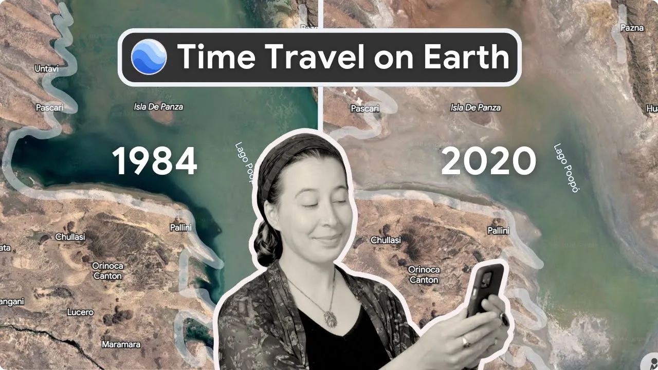
In honor of its two-decade milestone, Google has introduced a new feature: historical Street View imagery directly within Google Earth. This addition enables users to scroll through time and view how places have evolved, a fitting tribute to a platform that has always sought to deepen our understanding of the world, both past and present.
From Disaster Response to Scientific Discovery
Looking back, Google Earth’s impact stretches far beyond casual browsing. In 2005, just months after its launch, Google partnered with the National Oceanic and Atmospheric Administration to provide real-time imagery to aid emergency responders during Hurricane Katrina. In the years that followed, scientists utilized the tool to discover previously undocumented coral reefs off Australia’s coast and to aid in locating fossil sites, which ultimately led to the identification of a new hominid species.
Personal Stories and Cultural Impact
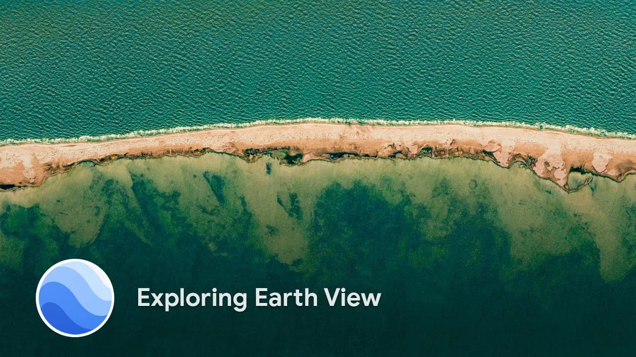
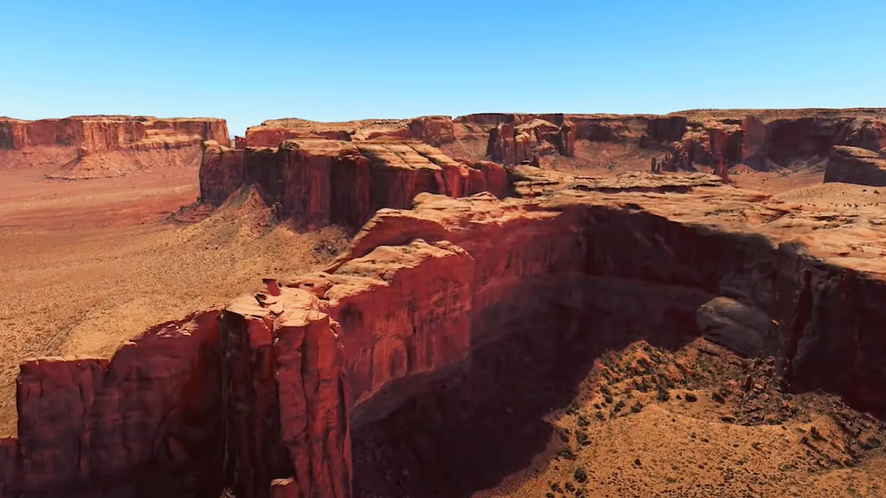
Google Earth has also played a role in human stories. In 2011, Saroo Brierley reunited with his birth family in India after tracing his childhood memories using the platform, a journey later dramatized in the film Lion. Other milestones include the launch of Earth View in 2014, offering high-resolution images of the Earth’s surface as digital art, and the 2017 update to Earth Timelapse, which stitched together satellite imagery to show how the planet has changed over 35 years.
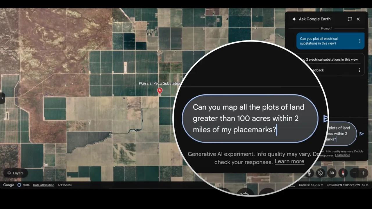
Advancing Professional and Environmental Uses
As the platform matured, so did its professional capabilities. In recent years, Google Earth has introduced tools that allow users to overlay data, analyze solar potential, and assess land use. A 2023 redesign enabled professionals to evaluate building designs and solar installations without setting foot on site. In 2024, historical imagery became widely accessible on web and mobile, expanding its educational and practical applications. Most recently, in 2025, the addition of datasets such as tree canopy coverage and urban land temperatures further cemented Google Earth’s utility in environmental and city planning.
Cultural Relevance in the Digital Age
One of the most telling signs of the platform’s cultural relevance may be its continued popularity online. The hashtag #somewhereonGoogleMaps trended globally last year as users shared personal and historical glimpses into familiar places through archived Street View imagery.
Looking Ahead
Google Earth’s journey is ultimately defined by its users. With more than 2 billion location searches in the past year alone, it remains a tool powered by curiosity and shaped by need. As it enters its third decade, Google Earth continues to evolve, not only as a technological platform, but as a reflection of how people across the world choose to understand and engage with the planet that they call home.
Image credits: Google Earth
Source link