

It’s a day of firsts for incredible new scientific missions. The European Space Agency’s (ESA) new Biomass mission, launched into orbit just two months ago, has returned its first set of incredible images of Earth.
Biomass is an Earth Explorer mission within ESA’s FutureEO program, and while the satellite and its sophisticated imaging equipment are still being commissioned for full scientific operations, the early images are extremely promising and hint toward Biomass’ ability to study Earth’s most extreme environments.

“As is routine, we’re still in the commissioning phase, fine-tuning the satellite to ensure it delivers the highest quality data for scientists to accurately determine how much carbon is stored in the world’s forests,” says ESA’s Biomass Project Manager, Michael Fehringer.
“Biomass is equipped with novel space technology, so we’ve been closely monitoring its performance in orbit, and we’re very pleased to report that everything is functioning smoothly and its first images are nothing short of spectacular — and they’re only a mere glimpse of what is still to come.”
The satellite features a P-band synthetic aperture radar, the first of its kind for any satellite, enabling it to penetrate forest canopies and measure the woody biomass beneath the foliage. Tree trunks, large branches, and stems are vital to accurately measuring carbon storage, which is the mission’s primary objective.
“Looking at these first images, it’s clear to see that our Earth Explorer Biomass satellite is set to deliver on its promise,” says ESA’s Director of Earth Observation Programs, Simonetta Cheli.
“We fully expect that this new mission will provide a groundbreaking leap in our ability to understand Earth’s forests — combining cutting-edge radar technology with the scientific excellence that will unlock vital insights into carbon storage, climate change, and the health of our planet’s precious forest ecosystems.”
One of the first images, shown at the top of the article, depicts a Bolivian forest as captured by Biomass. The radar instrument’s different polarization channels help reveal unique characteristics of the landscape.
“For instance, green hues mainly represent rainforest, red hues forested floodplains and wetlands, and blue-purple is indicative of grasslands, while black areas are rivers and lakes,” ESA explains.
Compared to ESA’s Sentinel-2 mission, which is extremely impressive in its own right, Biomass’ ability to capture extremely rich data is immediately evident.

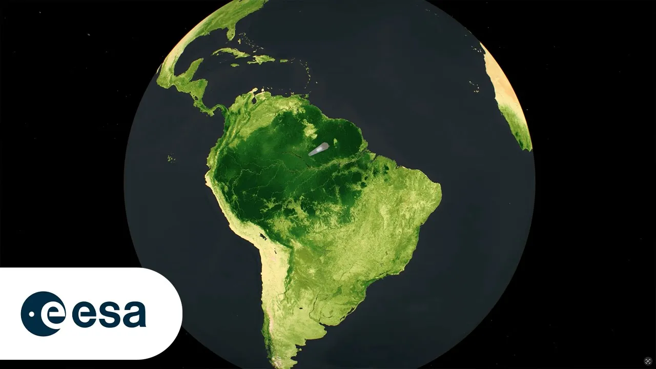
Another image, the very first that Biomass captured, shows the Amazon rainforest in northern Brazil. The pink and red hues in the image are wetlands, which Biomass is uniquely able to see thanks to its ability to penetrate dense vegetation. The green area near the top of the photo shows much more rugged topography and dense forest cover.

The rest of the remarkable new images are below, featuring incredible views of Indonesia, Gabon, Chad, and Antarctica.


Biomass’ novel radar technology is not only good for looking below vegetation — it can also be used to penetrate ice sheets, allowing scientists to study the ice’s internal structure.
Image credits: European Space Agency (ESA)
Source link